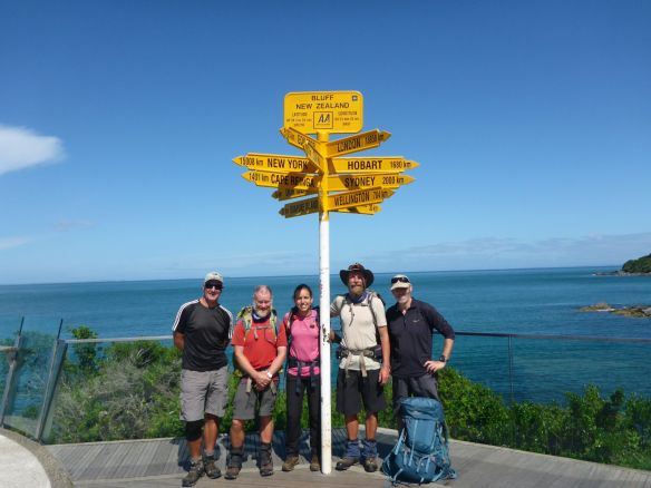
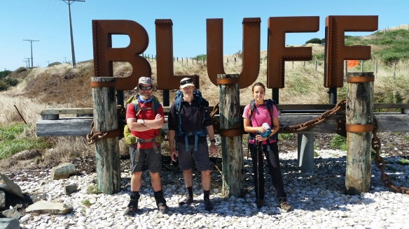
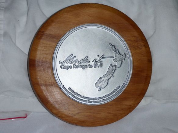
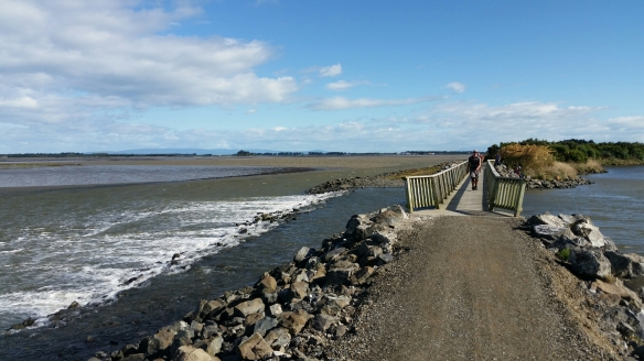
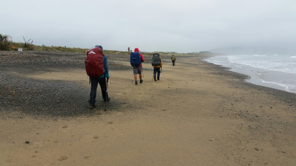
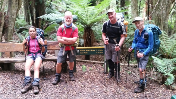
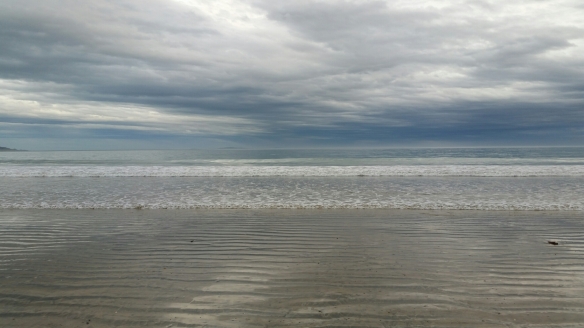
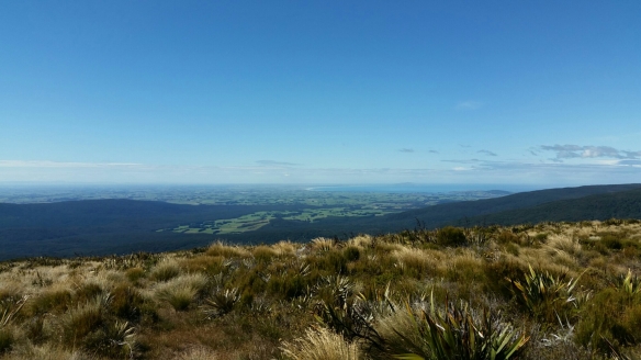
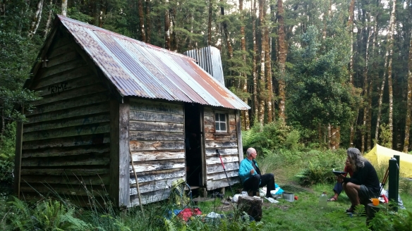
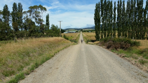
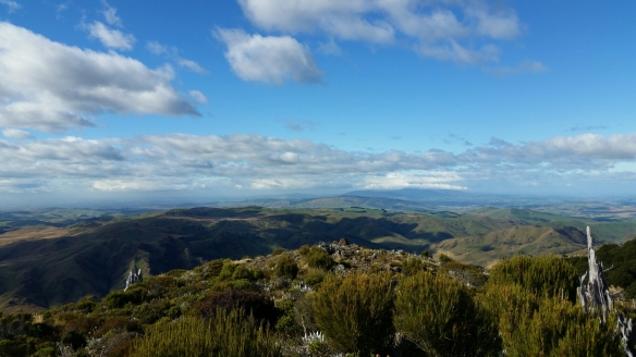
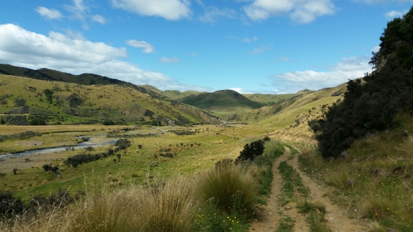
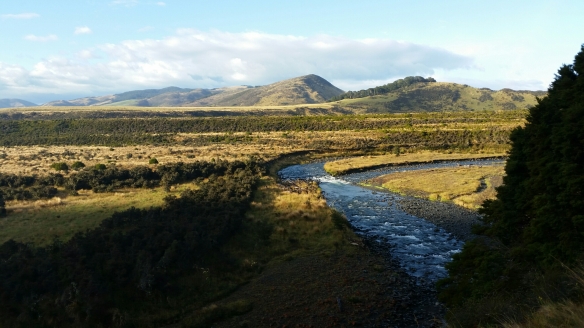
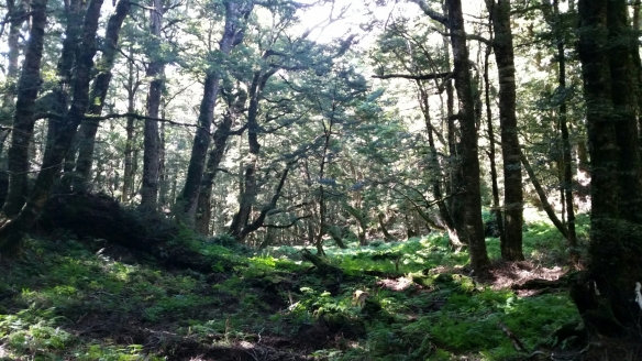
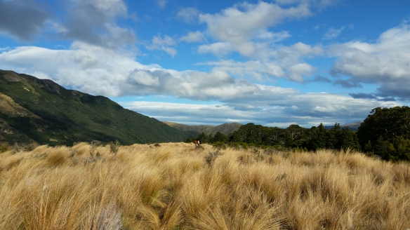
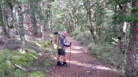
What a difference a day makes. Woke to gorgeous weather for our final day on the trail. Hitched back to Awarua and then onto the road for 13kms of tarseal walking. Spent the time with Rick going over our journey, day by day, from the Cape. Lunch once we left the road and joined the lovely coastal track taking us to the signpost at the end of Bluff. Dave, Charlie, Alba, Rick and I spent quite a while yahoo’ing and taking photos. Camino Te Araroa was finished but one surprise still awaited us as we celebrated later in the evening – the Invercargill City Councilor (Lloyd Esler) popped round to the restaurant and presented us with our TA plaques. Cool!
Monthly Archives: February 2016
Day 140 – Invercargill to Awarua
Not a lot of sleep at the Backpackers, too many Bogans driving up and down the main street outside. 2nd Breakie at the Café then off along the Estuary Walkway towards Bluff. A brief break and a stop for lunch took us to the main road where the weather deteriorated to rain and gale force winds. Carried on a few more kms then managed to hitch back to Invercargil. Not many kms today, savouring our last days on the trail.
Thanx Kirsten for the trail bling. …
Day 139 – Riverton to Invercargill
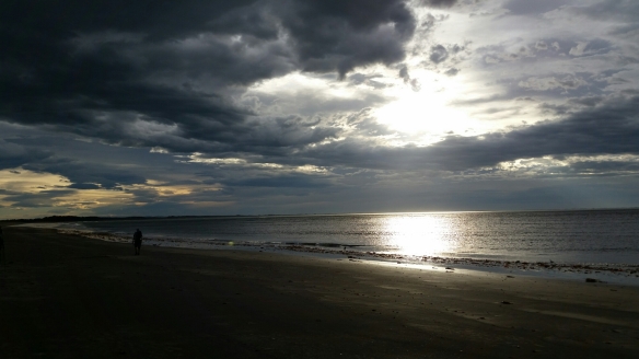
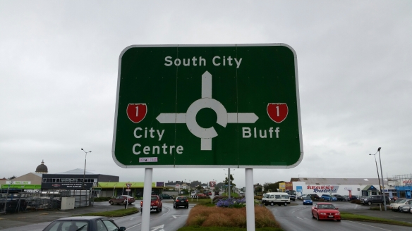
Really dark threatening sky as we walked onto the beach to take advantage of the low tide. Warm with the wind at our backs and a firm but comfortable beach surface. 21kms along Oreti Beach with only occasional showers went really quickly so we decided to carry on to Invercargil. Got to the backpackers by 5pm. Saw our first road sign with Bluff on it. We’re getting nearer the end. Two short days to go.
Day 138 – Colac Bay to Riverton
Poured down during the night as forecast. Got up normal time and had 1st breakie with Rick in the camp kitchen. 2nd breakie at the Tavern with Dave, Alba, Charlie and Rick. Got going at 11am straight onto the beach. Nice sand to start with then the tide forced us onto the pebbles. Light rain but quite wetting as we walked around the cliff section. Up over the hill then down into Riverton. Only 13kms today and although wet a satisfying day on the trail. Backpackers turned out to be a bit run down but cosy enough.
Day 137 – Martins Hut to Colac Bay
50m from the hut is the DOC sign for the intersection to Turnbull Hut and Cascade Road. The trail went via Cascade Road. We mistakenly took the Turnbull Hut track, following a Tail Race we’d read about in the notes, but didn’t realise we were off-trail till I checked the GPS 1 1/2 hours later. Oops! Dave was with us, still pretty ill and lacking energy. Crew decided to carry on to Turnbull Hut and then bush bash all the way back to the trail near the car park at the road end. Rick navigated while I looked for the best way forward. 5hrs later we walked out onto the trail, exactly where we wanted to. Pretty rough going but a great way to finish our last forest section on the TA. Road walk to Colac Bay Tavern and Backpackers. Big day again!
Day 136 – Merrivale to Martins Hut
Dropped of early at the trail head by Karl (the backpacker owner). 7kms of gravel road into the Longwood Forest. Dave joined us again on the trail but was pretty crook. A further 5kms to Bald Hill with a massive cell and radio tower on top. Got our first view of Bluff – not long now. Windy on top so the workmen let us use their Smoko room for 1st lunch. Another gravel road rook us down to the Quarry and onto a further forest track that took us back onto the open tops. Arrived at Martins Hut – our last – and met the slowest TA walkers on the trail (9 1/2 months so far). After 8:30pm, five lightweight TA walkers arrived, a couple in the dark.
Day 135 – Balgowan Forest to Merrivale
Nice campsite! Cold morning. GPS trail differed from the orange marker trail. Eventually got onto the trail and climbed the hill to Twinlaw with the massive Cell Tower on it. Met Dave at the top and Alba returned the watch she had found on the track. Dave walked with us all day. Pine forest 4WD track led onto the Woodlaw Forest bush track and out to Scott’s Gap. Some more road walking and then into Island Bush – another Pine forest taking us to the Otautau Tuatapere Rd. Got a lift by the local Cop to the backpackers in Tuatapere to resupply and stay the night.
Day 134 – Lower Wairaki Hut to Balgowan Forest
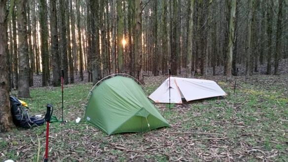
Lovely forest again as we climbed to the top of the hill from the hut. Out into the open, along the tops and then down to Telford Campsite for lunch. Along a farm 4WD track following the Telford Burn River. Left the river valley on a gravel road across to Struan Flat Rd and Birchwood. Asked at a farm house to fill up our water bottles and were advised the best camping would be in the Eucalyptus Forest up the road. Found a lovely grassy spot in the forest and camped. Nice spot!
Day 133 – Aparima Hut to Lower Wairaki Hut
Started raining as we got up. Spent the day in lovely forest as the showers cleared by lunch time. Alba played scout and led all day. Arrived at the hut super early, at 2pm. Decided not to continue onto the Telford Campsite but to chill instead. Lovely afternoon! Coffee, huge dinner, journal and blogs. 4 people turned up late. TA quicks on a mission.
Day 132 – Te Anau to Aparima Hut
Still pouring down as it had all night long. Beautiful breakfast, Muesli with Berries made by Luca then Bacon, Eggs etc. cooked by Maud and Guillaume. Farewells – good luck Luca finding a job. Hitched with a Dutch couple in a tiny rental – packs on our laps – to the restart of the trail. 6kms of gravel road to Princhester Hut for lunch then through a nice piece of forest up to the saddle. From there we encountered forest and tussuck sections all the way to the hut.

